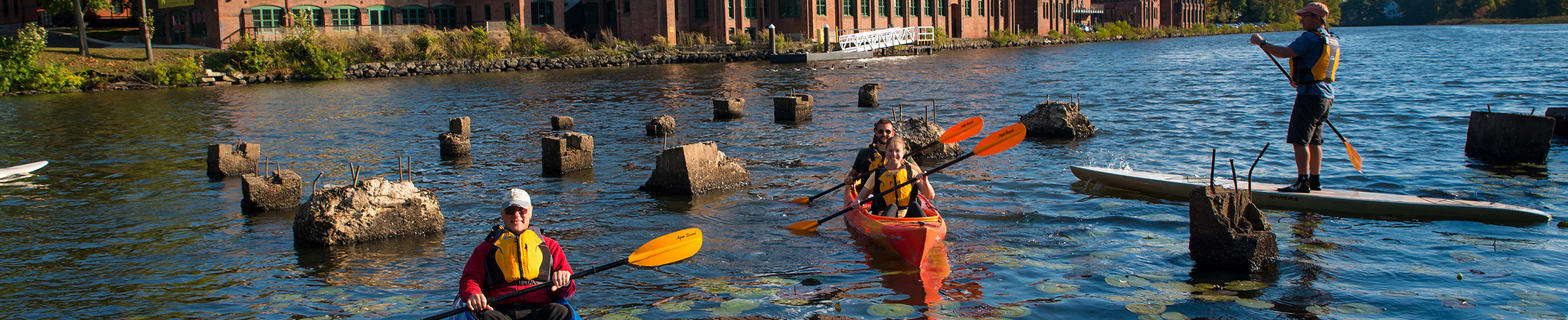
Rentals
Waltham Paddling Maps
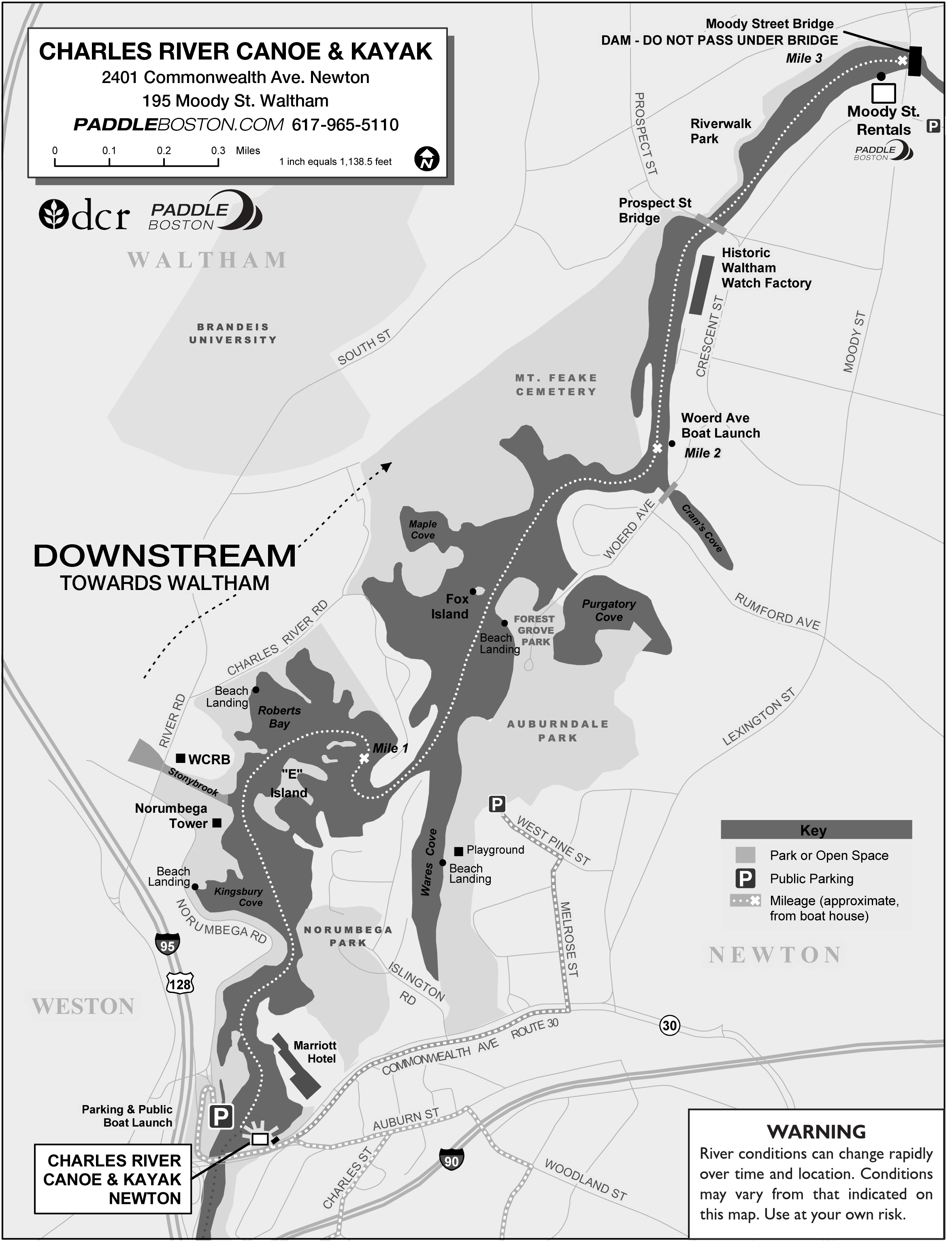
The Charles River Lakes District consists of six miles of flatwater between Newton Lower Falls (Rt. 16) and our location on Moody Street in Waltham. Explore this section of river using the maps below. Click here for a printable version of the map below.
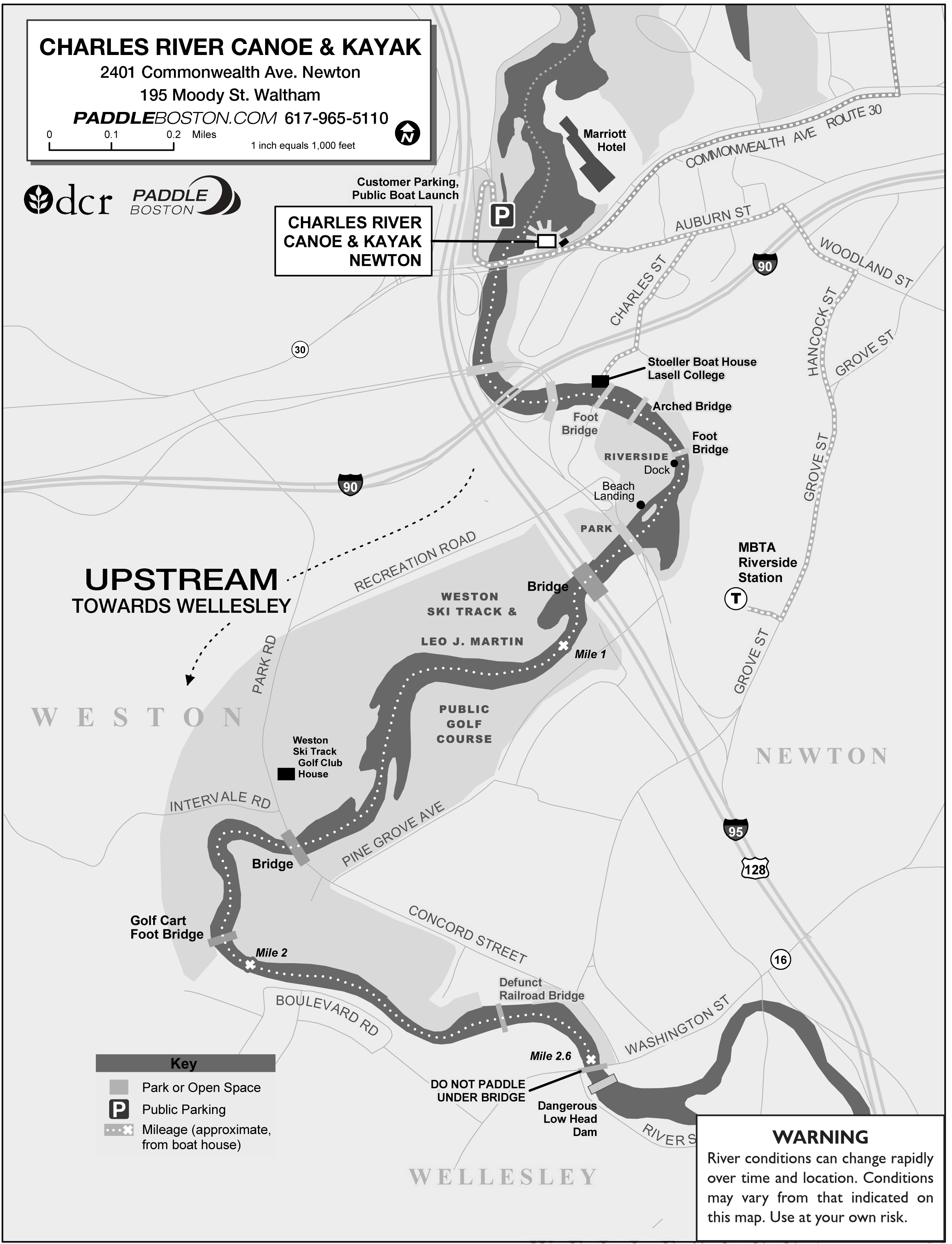
A driving map to Auburndale Park
Click here for a printable version of the map below.
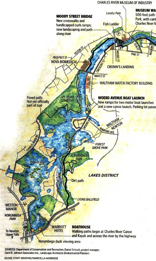
Charles River Walking Map — Newton to Watertown
This unofficial walking map of the Charles River Reservation between Commonwealth Ave in Newton and Watertown Square was originally published in the Boston Globe in 2007. Some segments of the path are not complete, and some segments require following roads that are not adjacent to the river. Click on the boxes to zoom in.